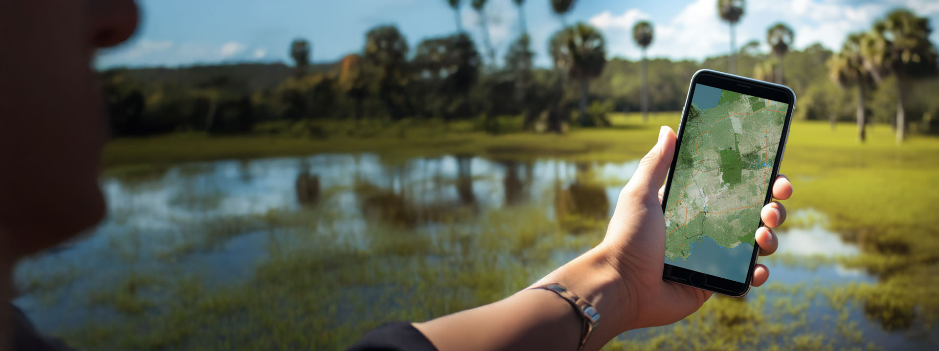
Geospatial Mapping
Create precise geospatial maps to support decision-making in planning, development, and conservation
Clearview Geographic is more than a leading provider of geospatial intelligence; we’re a catalyst for sustainable, informed growth in a data-driven world. Guided by a unique blend of creativity, leadership, ethics, accuracy, respect, vision, integrity, excellence.
Delivering precise GIS solutions for comprehensive location sciences projects.
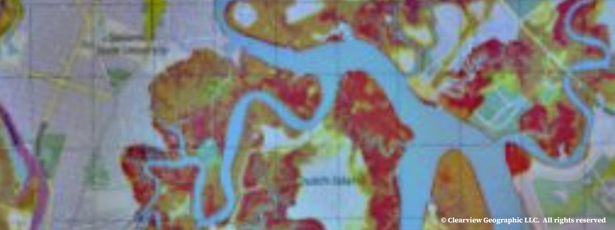
A local property owner did not want to impact water quality or protected wildlife during the construction of their home.…
Learn MoreOur team took on the challenge of providing critical solutions to the climate-driven flood scenarios faced by Islamorada. Through our…
Learn More