Make Data Informed Decisions with Clearview Geographic Location Science
Discover vulnerabilities, plan and adapt for a changing tomorrow
Clearview Geographic Services
Gaining the location science insights you need with our GIS expertise
Location Data Management and Analysis
Collect and process high-quality geospatial data to support operational insights and decision-making.
Identify and catalog critical infrastructure and assets essential for operational continuity.
Management Reporting Provide detailed reports on asset status, vulnerabilities, and management strategies for optimal efficiency.
Deliver professional, comprehensive reports tailored to technical and regulatory requirements.

Environmental and Sustainability Services
Track and evaluate sustainability performance using advanced geospatial and environmental indicators.
Assess potential risks and vulnerabilities to natural or human-induced hazards.
Develop models that provide actionable insights for planning and environmental decision-making.
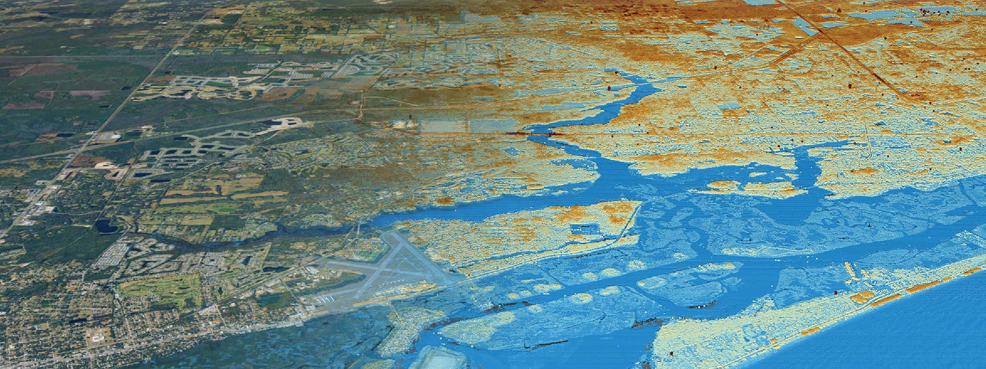
Create detailed flood risk maps to guide planning and mitigation efforts.
Align zoning practices with climate resilience strategies to safeguard communities.
Gain insights on floodwater vulnerability to inform effective stormwater management systems to protect resources.
Planning and Implementation Services
Develop strategic capital improvement plans aligned with budgetary and operational goals.
Craft detailed project timelines to ensure efficient execution and timely delivery.
Establish standard operating procedures and maintain comprehensive inspection records for compliance.
Help municipalities improve CRS scores to enhance flood insurance premium discounts.
Provide expertise in interpreting and leveraging FEMA Flood Insurance Rate Maps for planning.
Identify and prioritize key areas for targeted development and investment.


