Sea Level Rise Scenario Tool to Visualize Flood Risk
Assessing Flood Vulnerability: How Clearview Geographic Leverages Cutting-Edge Sea Level Data
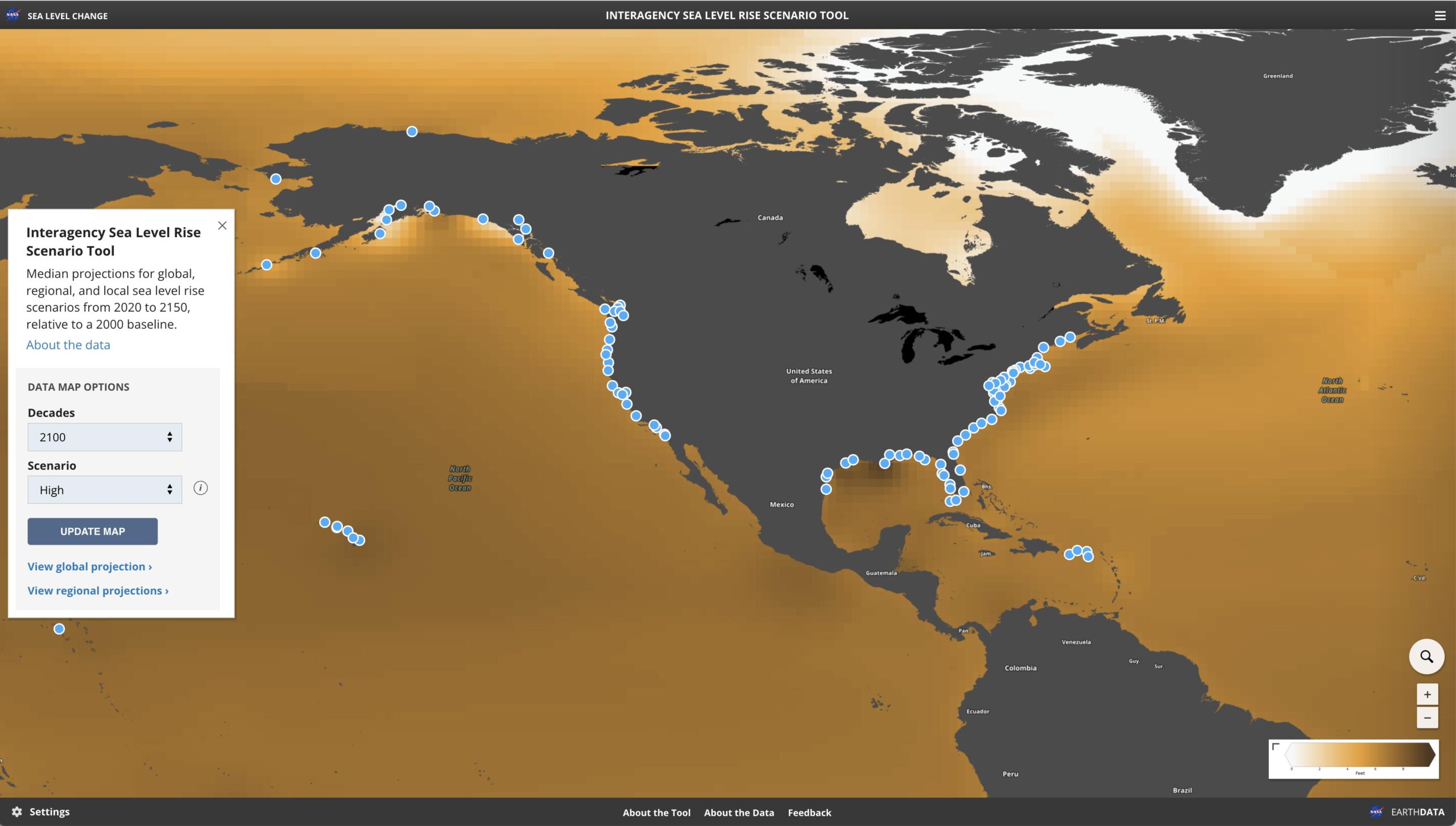
At Clearview Geographic, we understand that effective flood vulnerability assessments are key to protecting communities from future coastal hazards. Our approach leverages sea level rise data from the Sea Level Rise and Coastal Flood Hazard Scenarios as one of the tools in our toolkit towards aiding municipalities in their Flood Vulnerability Assessments.
This report offers the most current projections for all U.S. states and territories, looking ahead to the year 2150. By combining insights from leading agencies such as NASA, NOAA, the EPA, USGS, and the U.S. Army Corps of Engineers with academic expertise, we deliver highly reliable information to guide local decision-makers.
Empowering Municipal Decision-Making
Integrating these sea level scenarios into our vulnerability assessments enables our analysts to understand current conditions and anticipate future risks. For our clients we craft detailed reports supporting stakeholders and leaders in developing effective flood mitigation strategies, refining zoning regulations, and making informed decisions on long-term infrastructure investments—all of which are essential for enhancing community resilience.
Partner with Clearview Geographic for Vulnerability Assessments
We believe that proactive planning is essential to minimizing flood risks and building resilient communities. Our consulting services blend the latest sea level rise data with local expertise, empowering municipalities to make informed decisions for a future shaped by climate change. Whether you’re looking to update floodplain maps, design new mitigation measures, or gain a clearer understanding of the evolving coastal landscape, our team is here to help.
Contact us today to learn how our flood vulnerability assessments can support your municipality in navigating the challenges of rising sea levels and a changing climate.
Building Resilient, Sustainable Projects with Geospatial Intelligence
Climate Change and the Need for Resilient Development Climate change is no longer a distant concern—it’s a reality reshaping how…
Sea Level Rise Scenario Tool to Visualize Flood Risk
Assessing Flood Vulnerability: How Clearview Geographic Leverages Cutting-Edge Sea Level Data At Clearview Geographic, we understand that effective flood vulnerability…

Join Clearview Geographic at the 2025 Miami Disasters Expo
We are excited to announce that Clearview Geographic will be exhibiting at the 2025 Miami Disasters Expo, March 5-6, 2025,…