Urban Planning
Strategic planning for sustainable growth
A suite of comprehensive services designed to support sustainable and effective urban development.
Balance growth with sustainability for mindful environmental stewardship
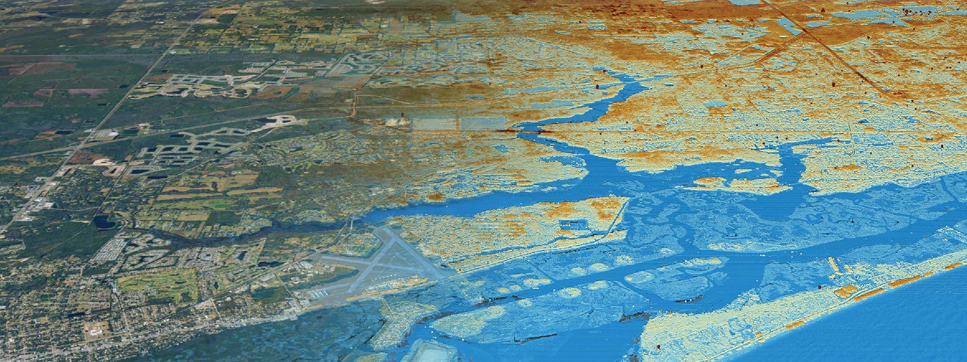
Overview: Clearview Geographic’s expert location intelligence team utilizes advanced geospatial technologies and data-driven insights to assist local governments, planners, developers, community stakeholders and policymakers in making informed decisions.
Benefits: Utilizing advanced GIS technologies and data-driven insights, we assess current land use, infrastructure needs, and future growth projections to develop actionable urban plans. Our services ensure that urban expansion is managed efficiently, enhancing the quality of life for residents while promoting economic development and environmental stewardship.
Urban Planning GIS Services
Explore our diverse range of services that support multiple aspects of urban planning.
Optimize location decisions with GIS insights for sustained growth and competitive advantage.
Visualize data for informed decisions
Transform data into actionable insights
Clear insights through visual data
Seamless Geographic Information Systems (GIS) integration
Robust Geographic Information Systems (GIS) infrastructure design
Precise spatial data collection
Identifying Organizational Requirements
Protect ecosystems through detailed assessments
Sustainable project planning and compliance
What is Location Science?
Location Science is an interdisciplinary field that uses geographical data and spatial analysis to solve problems and make decisions related to the positioning, organization, and management of physical locations


