Emergency Services
Enhanced response times and resource allocation through real-time geospatial data.
Our GIS solutions provide emergency service providers with real-time data and mapping to improve response times and resource allocation during critical events.
Optimize your emergency response with data-driven insights and location intelligence.
Overview: Clearview Geographic's GIS services for emergency services are designed to support first responders, emergency managers, and public safety officials. Our solutions provide dynamic, real-time data that aids in critical decision-making during disasters, ensuring communities are protected and response strategies are efficient.
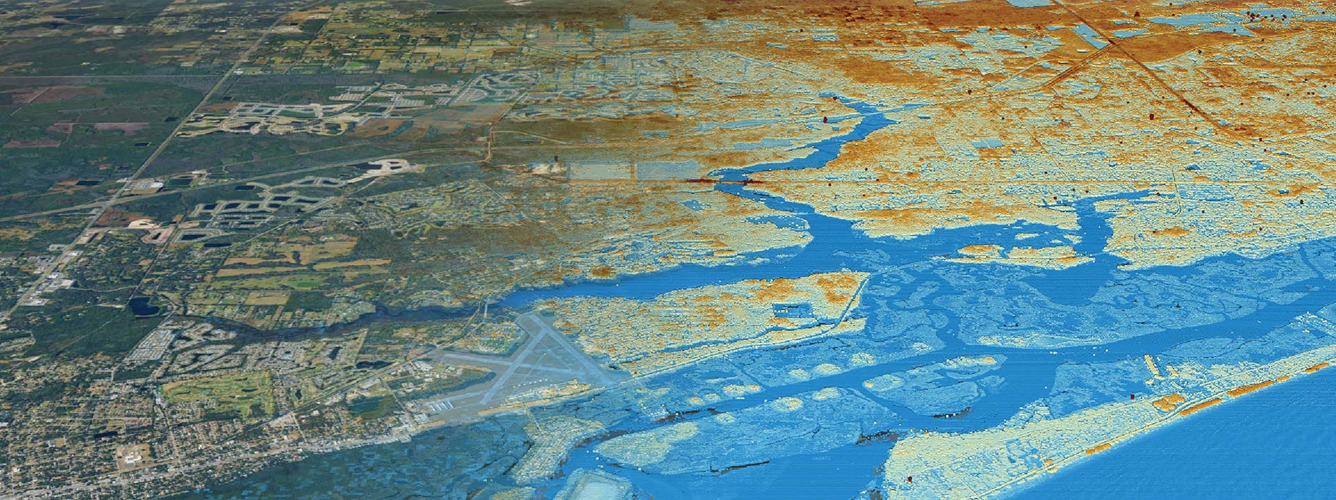
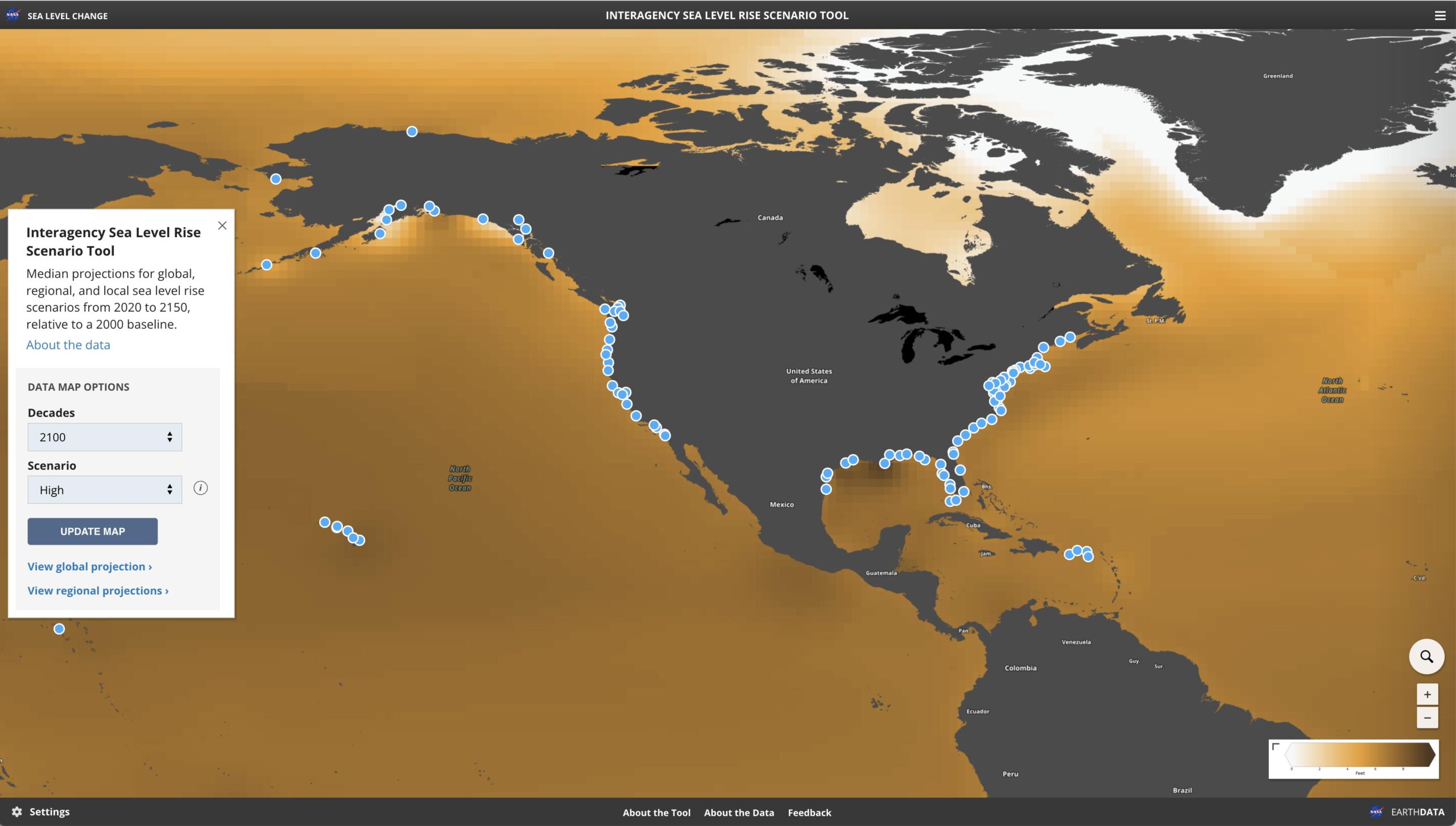
Benefits: Our GIS solutions empower emergency teams with up-to-date maps and geospatial insights that improve situational awareness. Whether it's flood risk mapping, fire spread models, or evacuation route planning, our services enable emergency responders to allocate resources efficiently, assess real-time threats, and prioritize response efforts. This reduces response times, increases operational efficiency, and ensures that communities are better protected during emergencies. With accurate, data-driven strategies, our GIS tools support faster, more effective decision-making, ensuring timely responses in critical situations.
Emergency Services GIS Services
Explore our diverse range of services that support multiple aspects of emergency services.
Comprehensive risk evaluations and strategies
Accurate risk identification and planning
Seamless technology integration and deployment
What is Location Science?
Location Science is an interdisciplinary field that uses geographical data and spatial analysis to solve problems and make decisions related to the positioning, organization, and management of physical locations


