How GIS is Revolutionizing Civil Development Projects
Civil development projects such as construction of roads, buildings, and other infrastructure require extensive planning, research, and analysis before implementation. Geographic Information Systems (GIS) have become essential tools in civil development projects, providing accurate data that can inform crucial decision-making processes. In this blog post, we explore how GIS is revolutionizing civil development projects.
- Accurate Data Collection
GIS technology enables civil development teams to collect, store, and analyze data related to the project site. This information can include geographical, geological, and topographical data, as well as environmental and land-use data. With this data, engineers and project managers can make informed decisions about the site selection, the feasibility of the project, and any potential risks or challenges that may arise during construction.
- Improved Project Management
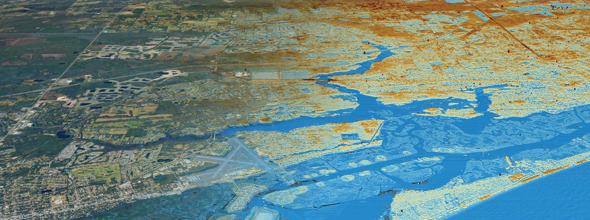
GIS software allows civil development teams to create detailed 3D models of the project site, allowing them to visualize the project before construction begins. This visualization can help teams identify potential issues and make necessary changes before construction begins. Additionally, GIS can be used to monitor progress and identify any potential issues that may arise during the construction phase.
- Efficient Resource Allocation
GIS can help civil development teams optimize resource allocation by analyzing data related to the project site, such as the availability of materials, labor, and equipment. With this information, teams can plan the project timeline and allocate resources more effectively, reducing waste and increasing efficiency.
- Environmental Impact Assessment
GIS technology enables civil development teams to conduct environmental impact assessments (EIAs) more accurately and efficiently. EIAs provide information about the potential environmental impacts of a development project, including impacts on air, water, soil, and biodiversity. GIS can help teams identify potential environmental risks and develop mitigation strategies to minimize the project’s impact on the environment.
- Improved Public Engagement
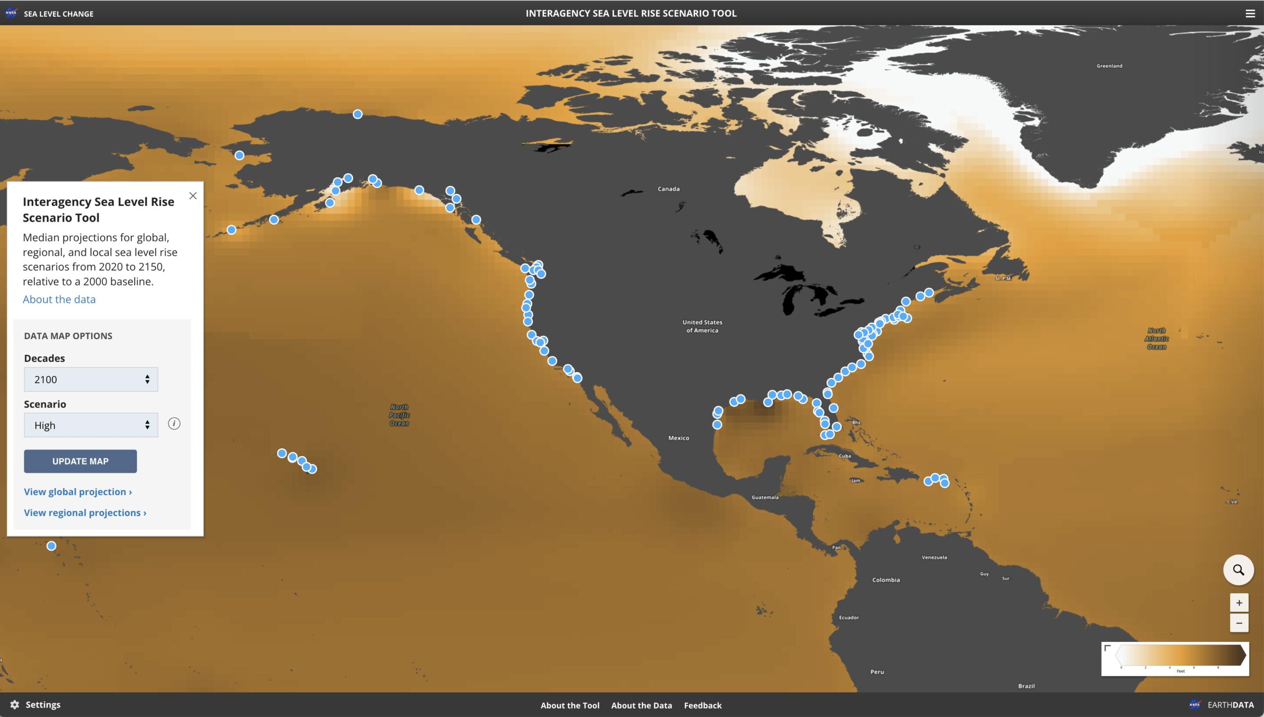
GIS can also be used to improve public engagement in civil development projects. With GIS software, teams can create interactive maps and visualizations of the project site, allowing stakeholders to view the project and understand its potential impact on the community. This engagement can help foster a sense of transparency and trust between the development team and the public, improving the chances of successful project completion.
In conclusion, GIS technology is revolutionizing civil development projects by providing accurate data, improving project management, optimizing resource allocation, facilitating environmental impact assessments, and fostering public engagement. At Clearview Geographic, we are committed to helping civil development teams leverage GIS technology to achieve their project goals. Contact us today to learn how we can help you with your civil development project.


