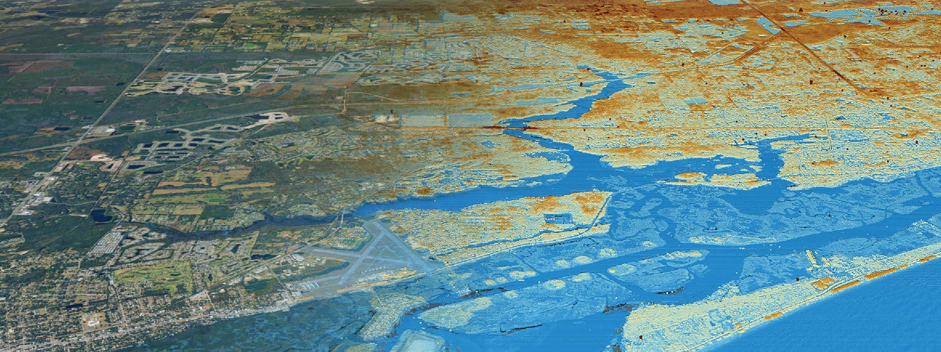
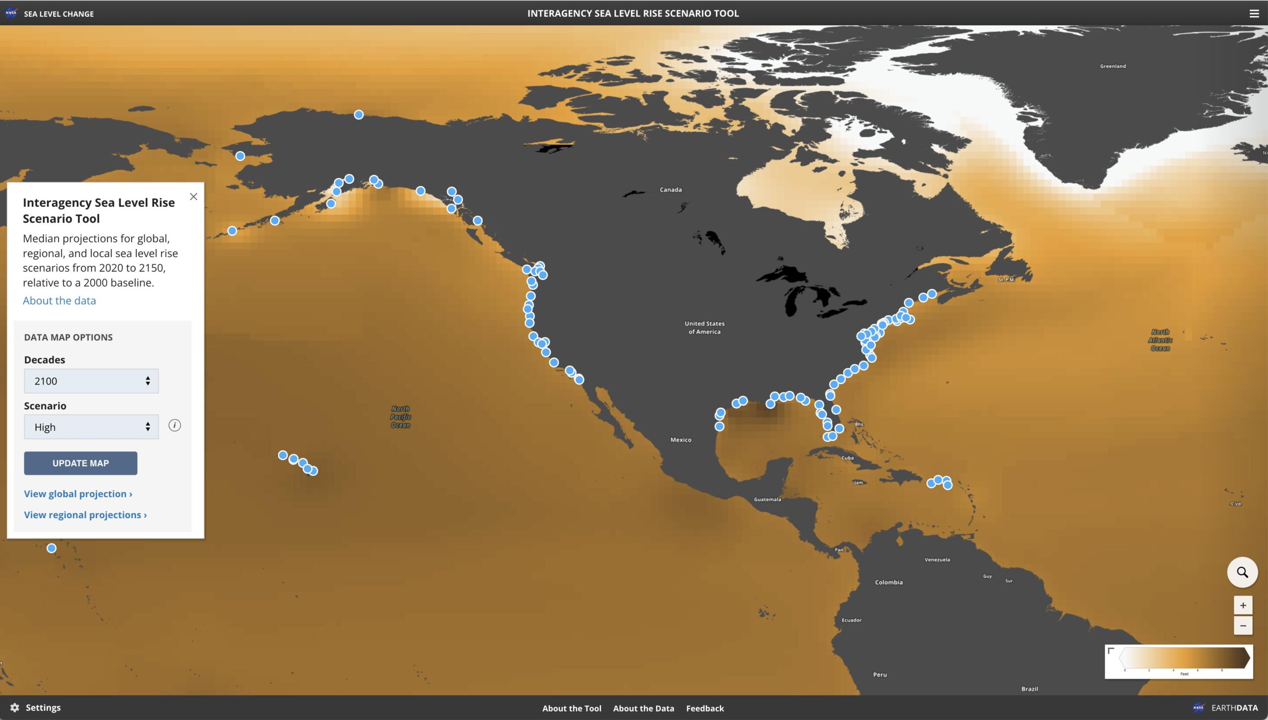
Transform geographic data into meaningful insights, enabling organizations to visualize patterns, optimize decision-making, and solve complex spatial challenges with precision and efficiency.
Explore our services that support multiple aspects of Hazard Vulnerability Assessments
Seamless Geographic Information Systems (GIS) integration
Precise spatial data collection
Clear insights through visual data
Unlock Insights from Location-Based Data
Robust Geographic Information Systems (GIS) infrastructure design
Transform data into actionable insights
What is Location Science?
Location Science is an interdisciplinary field that uses geographical data and spatial analysis to solve problems and make decisions related to the positioning, organization, and management of physical locations


