Drone Services and UAS Imagery
Capture Aerial Insights with Precision
Advanced drone imaging and data collection for comprehensive geospatial analysis.
Aerial Intelligence for Advanced Geospatial Insights
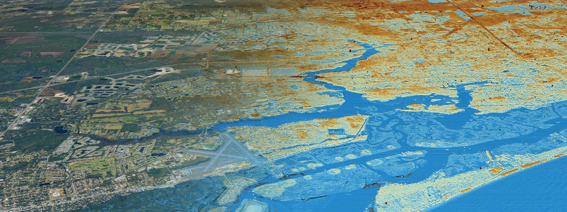
Clearview Geographic’s Drone Services and UAS (Unmanned Aerial Systems) Imagery deliver high-quality aerial imagery and data for mapping, inspections, and analysis. Utilizing cutting-edge drone technology, we provide accurate, timely, and cost-effective geospatial solutions for a range of industries.
- Capture high-resolution aerial data efficiently.
- Improve accuracy in mapping and analysis.
- Reduce costs associated with traditional aerial surveys.
Drone Services and UAS Imagery Key Results:
Turnaround Time: Inquire


