Geospatial Mapping
Visualize data for informed decisions
Create precise geospatial maps to support decision-making in planning, development, and conservation
Clear Spatial Insights for Informed Decisions
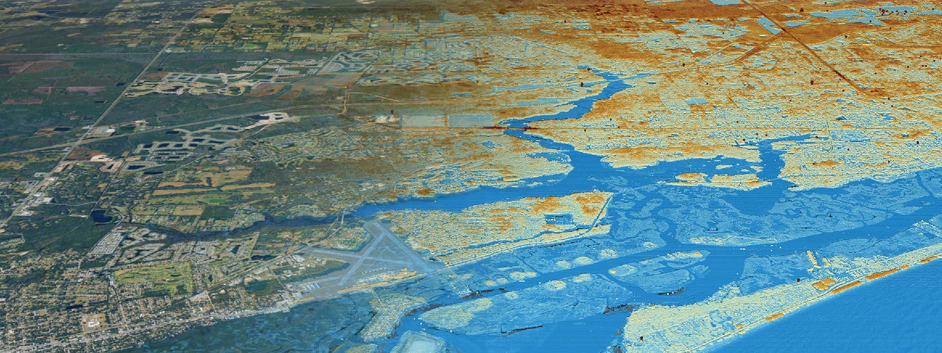
Clearview Geographic’s Geospatial Mapping services deliver detailed and accurate maps for a wide range of applications from environmental planning and resource management to advanced GIS technology, where we capture, analyze, and visualize spatial data to foster decision support across various industries. Our mapping solutions utilize advanced geographic information systems (GIS) to capture, analyze, and visualize spatial data.
Our GIS solutions can optimize logistics and defense companies planning strategic movements, security camera placements, and support ride-sharing services with real-time GPS tracking. Marketing professionals can execute location-based campaigns, while fitness enthusiasts benefit from detailed workout data tracking.
Our geospatial mapping services enable stakeholders to visualize critical data, make informed decisions, and identify potential risks and opportunities in project planning and environmental management. By providing precise maps tailored to specific project needs, we help organizations enhance efficiency, reduce uncertainty, and ensure sustainable land and resource use.
Geospatial Mapping Key Results:
Turnaround Time: Inquire


