Flood Risk Assessment
Empower your decisions with location-specific flood risk insights
Provides property owners, businesses, and municipalities with comprehensive evaluations of flood hazards.
Assess Your Flood Risk with Confidence and Preparation
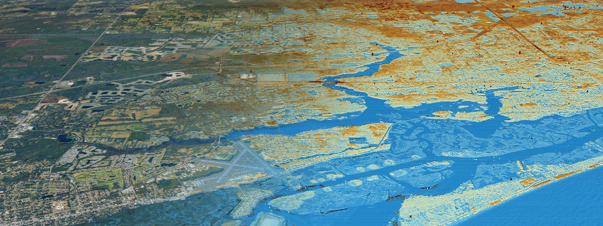
Clearview Geographic’s Flood Risk Assessment service analyzes your property’s susceptibility to flooding, considering key factors like flood zone designation, elevation, proximity to water bodies, and drainage patterns. Our detailed reports not only identify risks but also provide tailored solutions to minimize potential damage and improve your resilience. We utilize the latest GIS technology, including LiDAR mapping and historical flood event analysis, to ensure accurate, data-driven results. Whether you’re a homeowner, a business, or a local government, our assessments offer critical knowledge for informed decision-making.
- Proactive Planning: Identify flood-prone areas and make strategic decisions to protect your property or community.
- Increased Safety: Understand hazards and implement measures to reduce flood-related risks.
- Insurance Optimization: Use our reports to potentially lower flood insurance premiums or meet underwriting requirements.
- Regulatory Compliance: Ensure alignment with local and federal floodplain management standards.
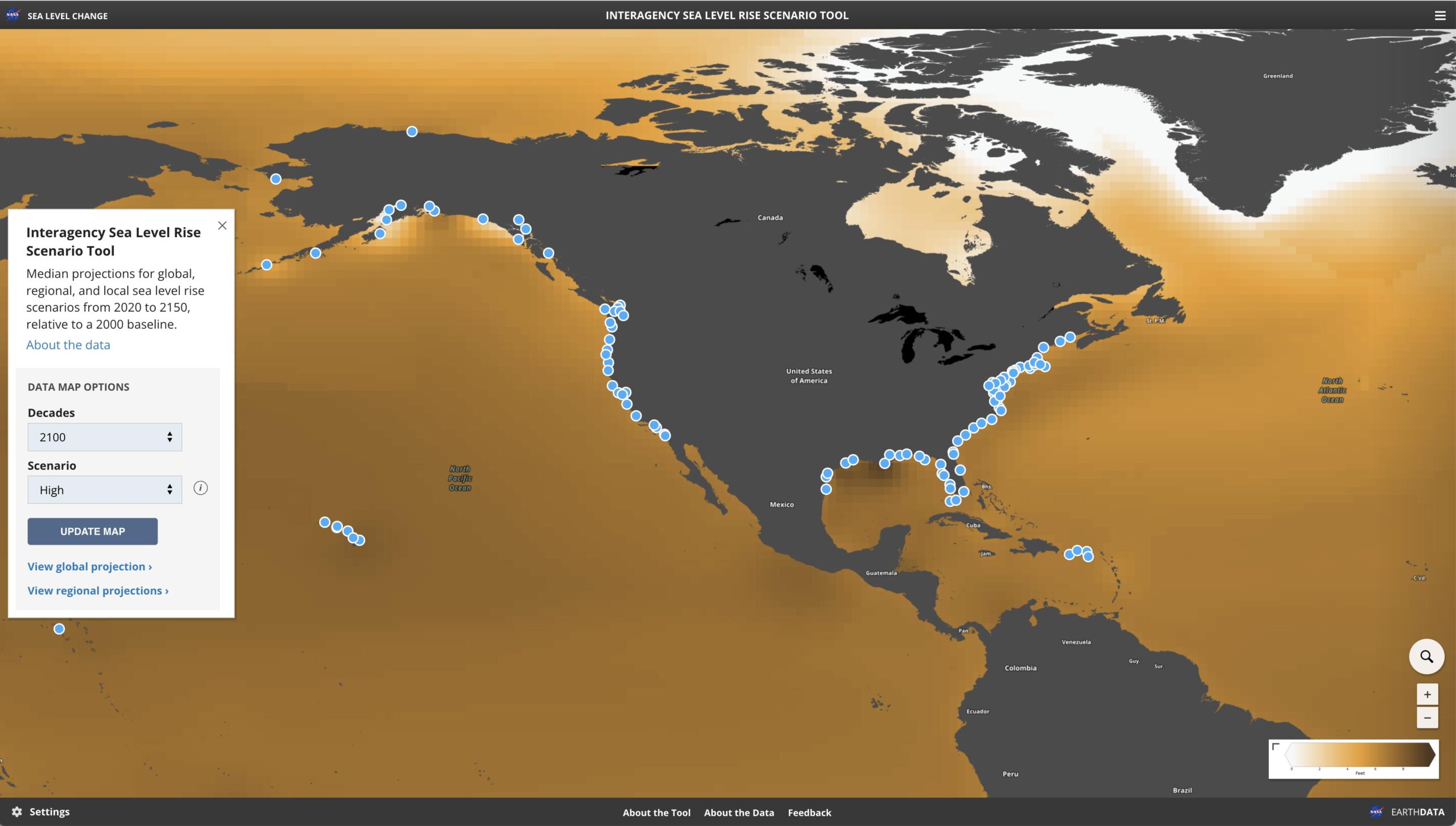
- Climate Resilience: Gain insights into future flooding risks based on changing weather patterns.
Flood Risk Assessment Key Results:
High-resolution flood maps identifying zones of risk
Custom flood risk reports tailored to specific properties or areas
Proximity analysis to flood zones, streams, and drainage basins.
Drainage and water flow pattern analysis with potential impact zones.
Recommendations for structural and non-structural mitigation measures.
Data-driven insights into historical and projected flooding scenarios.
Turnaround Time: Inquire


