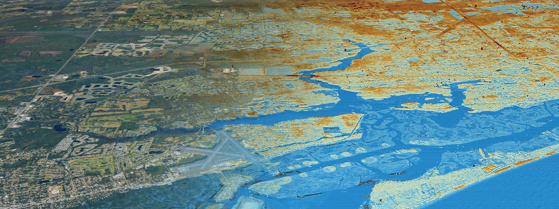
Data Acquisition and Reports
Precise spatial data collection
Collect precise spatial data to support analysis, decision-making, and project planning.
Reveal the Underlying Stories from Data Acquisition Insights
Clearview Geographic’s Data Acquisition services provide accurate and comprehensive spatial data collection tailored to the specific needs of your project. Our team uses cutting-edge GIS technology and field methods to capture data critical for environmental assessments, urban planning, infrastructure development, and more. This data lays the foundation for informed decision-making, ensuring that your project has the precise information necessary for successful implementation and outcomes.
Leveraging our internal geo server resources, Clearview Geographic’s data acquisition services provide you with precise and reliable data that enhances the accuracy of your analysis and decision-making processes. Our offerings leverage satellite imagery updated daily, allowing you to task satellites to monitor specific sites in real-time, and access to large-scale databases of anonymous cell phone location data feeds, enabling comprehensive meta-analyses and advanced insights. These capabilities ensure that projects are based on the best available information, reducing uncertainties, optimizing resource allocation, and supporting the insights gathering process for smooth project execution. Additionally, our robust data infrastructure facilitates effective collaboration and seamless integration of diverse data sources, empowering you to make well-informed decisions that lead to better results and improved project success.
Data Acquisition and Reports Key Results:
Turnaround Time: Inquire


