The Role of GIS in Emergency Management
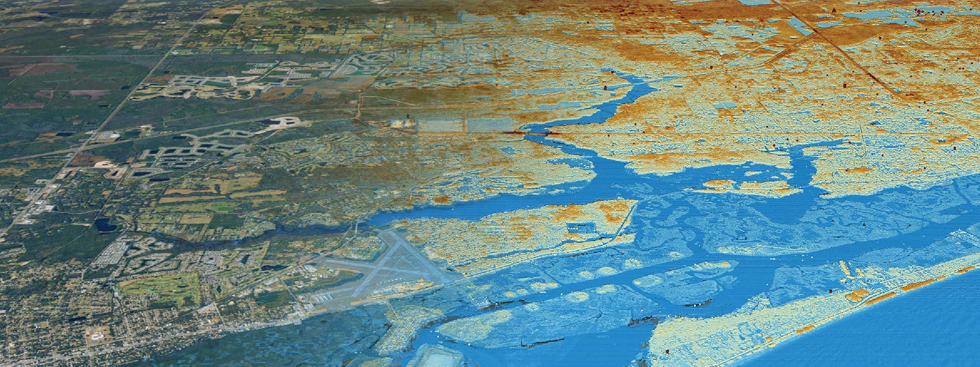
When a natural disaster strikes, it’s essential to have effective emergency management to reduce the impact and save lives. One tool that has been incredibly useful in emergency management is Geographic Information Systems (GIS). GIS helps emergency managers with disaster response, evacuation planning, and recovery efforts. In this blog post, we’ll explore the role of GIS in emergency management and how it can help improve outcomes during a disaster.
Disaster Response: GIS can help emergency managers with disaster response by providing real-time data and information about the affected areas. This information can include data about the location of hospitals, evacuation centers, and emergency shelters. GIS can also provide information on road closures, flood zones, and hazardous areas. By having this information available, emergency managers can make informed decisions about where to direct resources, such as emergency personnel, supplies, and equipment.
Evacuation Planning: GIS can also be used in evacuation planning. By mapping the population in the affected area, emergency managers can determine which areas will need to be evacuated, and how many people will need to be evacuated. GIS can also help identify the best routes for evacuation, including identifying any potential bottlenecks or obstacles along the way. By having this information available, emergency managers can help ensure that evacuations are safe and efficient.
Recovery Efforts: Finally, GIS can be used in recovery efforts after a disaster. GIS can help emergency managers assess the damage and identify which areas are most in need of aid. By mapping the affected areas, emergency managers can determine which areas need to be prioritized for cleanup, and where resources should be directed. GIS can also help track the progress of recovery efforts and identify areas where additional resources are needed.
GIS has become an essential tool in emergency management. It provides emergency managers with real-time data and information that can be used to make informed decisions about disaster response, evacuation planning, and recovery efforts. By using GIS, emergency managers can help reduce the impact of natural disasters, save lives, and improve outcomes for affected communities. At Clearview Geographic, we specialize in providing GIS solutions for emergency management. Contact us today to learn how we can help your organization prepare for and respond to natural disasters.


