How GIS is revolutionizing conservation efforts
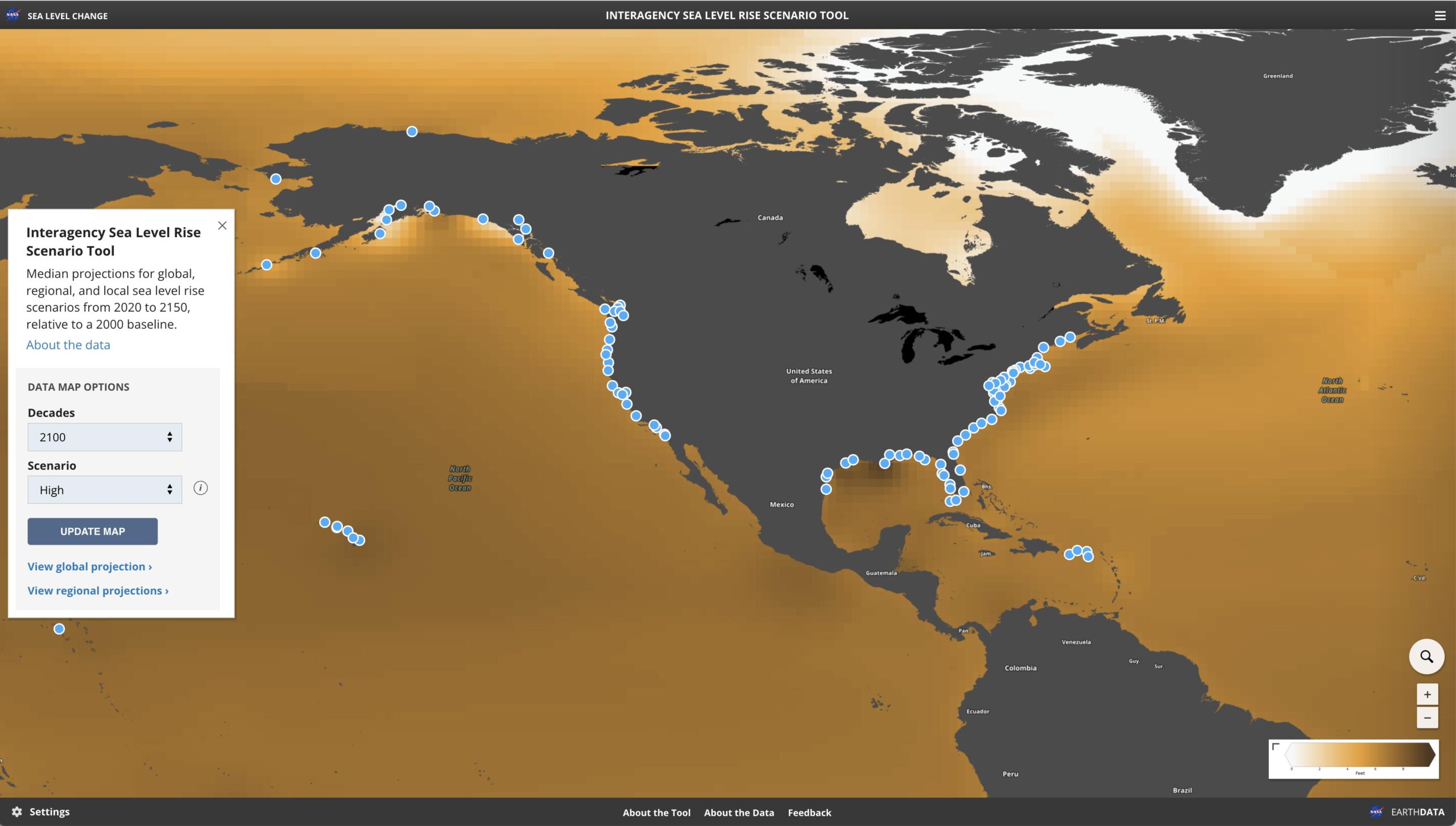
Conservation is a critical aspect of sustainable development, and Geographic Information Systems (GIS) are playing a crucial role in transforming how we manage our natural resources. GIS technology allows conservationists to map, analyze, and visualize complex ecological data, making it easier to identify trends and patterns that were once hidden.
Here are some ways GIS is revolutionizing conservation efforts:
- Habitat Mapping: GIS technology allows conservationists to map habitats with a high degree of accuracy, enabling them to identify critical areas that require immediate attention. By mapping habitats, conservationists can determine which areas are most vulnerable to destruction and focus their efforts on preserving those areas.
- Monitoring Wildlife: GIS technology enables conservationists to track the movement of wildlife in real-time. This data is critical in determining how animals use their habitats, identifying potential threats, and managing wildlife populations.
- Managing Natural Resources: GIS technology is helping conservationists manage natural resources more effectively. By analyzing data such as soil type, land use, and water quality, conservationists can make informed decisions on how best to use and protect natural resources.
- Identifying Environmental Risks: GIS technology allows conservationists to identify environmental risks such as wildfires, floods, and landslides. By analyzing data such as slope, vegetation cover, and weather patterns, conservationists can predict where and when these events are likely to occur and take proactive measures to prevent or mitigate them.
- Engaging Stakeholders: GIS technology enables conservationists to engage stakeholders in the conservation process. By creating interactive maps and data visualizations, conservationists can effectively communicate complex ecological data to a broader audience, raising awareness and building support for conservation efforts.
At Clearview Geographic, we specialize in providing GIS solutions for conservation organizations. Our team of experts has years of experience in helping organizations map, analyze, and visualize ecological data, enabling them to make informed decisions on how best to manage our natural resources.
If you’re a conservation organization looking to take advantage of the latest GIS technology, get in touch with us today. Our team will work with you to develop a customized solution that meets your unique needs and helps you achieve your conservation goals.


