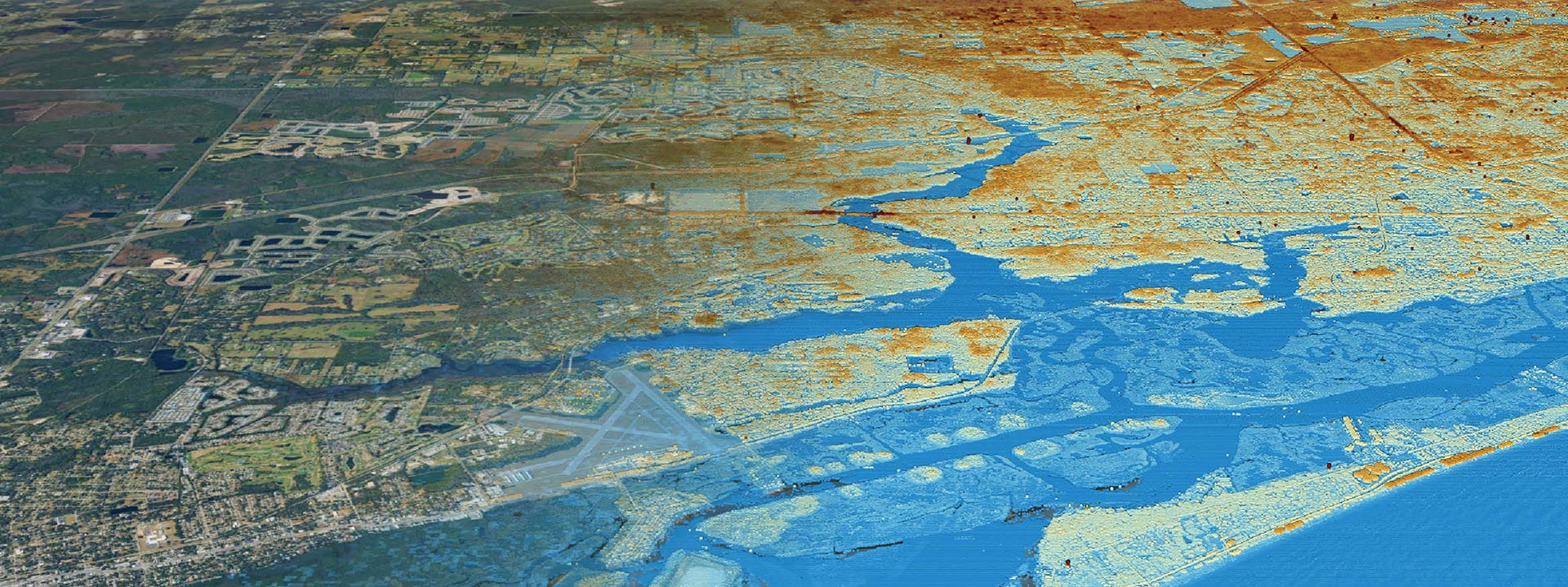
Mapping Wetlands
Wetlands are critical ecosystems that play a vital role in the environment. They are home to diverse plant and animal species, regulate water flow, and provide essential benefits to surrounding communities. However, wetlands are threatened by human activities such as land development, pollution, and climate change. To protect these valuable ecosystems, it is crucial to understand what a wetland delineation is and how it helps protect wetlands.
What is a Wetland Delineation?
Wetland delineation is the process of identifying the boundaries of a wetland area. The goal is to determine whether the area meets the criteria for being classified as a wetland. If an area is identified as a wetland, it is subject to regulatory protections under federal, state, and local laws.
Wetland delineation typically involves a combination of fieldwork and desktop analysis. During fieldwork, a wetland professional visits the site and conducts a visual inspection to identify the presence of wetland indicators. Wetland indicators are physical, biological, or chemical characteristics that indicate the presence of a wetland. Examples of wetland indicators include the presence of water, wetland vegetation, and hydric soils.
Desktop analysis involves reviewing maps and other data to determine the site’s hydrology, soils, and vegetation. This information can help identify potential wetland areas that may not be immediately visible during fieldwork.
Why Are Wetland Delineations Important?
Wetlands are important ecosystems that provide essential benefits such as flood control, water quality improvement, and habitat for wildlife. Wetland delineation is a crucial step in protecting wetlands from human activities that can damage or destroy these valuable ecosystems.
If an area is identified as a wetland, it is subject to regulatory protections under federal, state, and local laws. Wetland regulations typically require permits for any activities that could damage or destroy a wetland. These permits are designed to ensure that any activities conducted in or near wetlands are done in a way that minimizes harm to the ecosystem.
Wetland delineation is also essential for understanding the potential impacts of development on wetlands. Developers can use wetland delineation data to inform their development plans and avoid areas that could be environmentally sensitive.
Do I have wetlands on my property?
If you’re asking the question, “Do I have wetlands on my property?” it’s important to know that a wetland delineation is a process of identifying the boundaries of a wetland area. You can look into the National Wetlands Inventory to see if your property is located in a wetland area based on federal databases but note that inventory is only so accurate, capturing major wetland areas but often missing the intricate details of in-field ecology. The best way to determine if wetlands are on your property is to schedule a delineation with one of our environmental scientists today. We’ll put boots on the ground and assess everything from above-ground vegetation to signs of hydrology in the soil.
A wetland delineation is critical for protecting wetlands and ensuring compliance with wetland regulations. Our team of experts can provide you with a comprehensive report on the wetland boundaries of your property, which can help you avoid any legal or environmental issues in the future. Contact us today to schedule your wetland delineation and ensure your wetlands’ proper management and protection.


